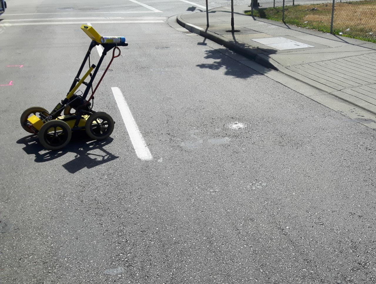
When open-cut surveys are insufficient, great precision and understanding are necessary to detect sensitive components of electricity or gas, so avoiding any physical harm. Underground utility locating mapping is the most popular service among government agencies and PWDs.
In the areas of geophysics, environmental engineering, and infrastructure development, the relevance of utility mapping cannot be emphasized.
Crews can easily drill into a gas line or damage concrete foundations of plants and silos if the location and depth of essential subsurface infrastructure are not adequately documented, plotted, or communicated to relevant parties.
Excavating into a utility line can be costly in terms of time, money, and energy if exact detection of what is beneath is not performed. Organizations can’t rely on old maps since they provide inaccurate and incomplete information about what they’re looking for. They seek a trustworthy business to provide technology-assisted subsurface utility mapping services.
The following are three of the most significant advantages of using utility locating mapping services.
Saves You Money
A utility mapping service improves work efficiency, which saves money in the long run.
The field crew may quickly receive reliable information from a remote location thanks to centralized database access.
From locating subterranean property in need of repairs and maintenance to producing digital work orders and inventory monitoring, utility mapping services can save you time, money, and effort.
It helps to eliminate the need for developing prints, manually preparing reports, entering details, reviewing daily schedules, plotting routes on paper maps, and much more. The use of this service reduces the amount of money spent on preventative maintenance, repairs, and obligatory replacements.
Manage Your Assets Easier
The professionals on the ground may readily access information relating to maintenance, replacement, repairs, and inspection with the help of utility locating mapping, which uses properly organized geographic data of subterranean utilities.
With a location-based tracking tool, a user may precisely trace and share position data, cutting down on troubleshooting time.
Public works agencies can easily manage all assets with real-time information, which not only reduces the cost of repair and replacement services but also improves decision-making and precision in work.
Better and Prompt Decision Making
One of the most significant benefits of this service is its ability to provide exact visualization via utility mapping. It may combine regular road maps and aerial views with property information such as zoning, permitting, parks, and developments.
By narrowing in on only the components that need to be considered, staff can show essentially more valuable data for official city meetings. As a result, there is a better comprehension of the situation, which allows for quicker decision-making.
Choose a Reliable Utility Mapping Service
It is critical that those working in certain initiatives comprehend the information in order to make better decisions. Our team collaborates closely with large infrastructure and real estate development projects. This reduces the amount of time and energy spent communicating information.
It also ensures that everyone on the team is using the same tool to analyze the same real-time data, which improves understanding and productivity.
To learn more about our utility locating mapping service, contact us at 866-638-1075 at Util-Locate today!

