Riverside County is California's fourth-largest and the tenth-largest county in the United States. It is around 7,300 square miles in size and has a population of 2.4 million.
What ensures the county's continued viability? It demands aptitude, tenacity, and a high level of devotion on the part of government personnel, volunteers, residents, and members of several commissions, institutes, and boards. Each of these individual citizens makes a substantial contribution to our sense of security, privacy, relaxation, and well-being. As a result, if you're working in Riverside, Ground Penetrating Radar usage is beneficial.

GPR for Utility Locating Underground
Util-Locate makes use of cutting-edge technologies and equipment. With over 13 years of experience, Util-Locate demonstrates its capacity to provide cost-effective, rapid, and exact GPR survey alternatives.
We are pleased to tailor the survey approach to the client's specifications and give real-time data on-site.
GPR In a Nutshell
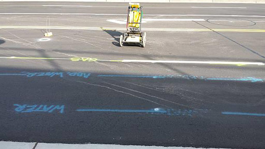
If you reside in Riverside, GPR is the best option for you. It is a non-invasive surveying technique used to determine the location of subterranean utilities, pipelines, rebar, and voids.
GPR scans the subsurface using energy pulses. A built-in computer continuously monitors the intensity and length of time required to return reflected signals and stores this information on a digital storage device. Natural and man-made materials such as tubes, geological features, and wires have diverse properties.
Additionally, it is a non-destructive and dynamic survey instrument that may be utilized on a range of surfaces.
Benefits of Ground Penetrating Radar (GPR)
GPR is good at detecting metallic and non-metallic services such as polyethylene water and gas pipelines, as well as utilities such as fiber-optic wires that are normally invisible to other technologies.
While GPR alone cannot ensure the detection or recognition of all underground wires, when combined with electromagnetic detection, the most thorough and full response is achieved. The following are some of its advantages:
- An effective and non-intrusive mapping technique
- The duration depends on the project
- Keeps sensitive sites from being dug up
- As opposed to x-rays, it is more schedule-friendly, less expensive, and safer
- Be able to spot early warning signs
- Identify and analyze problems quickly and accurately
Its applications:
- Geology and geophysics
- Environmental surveys
- Utility detection and mapping
- Studies on trenchless technology and directional drilling
- Unmarked cemetery and grave location
- Clearance for Directional Drilling
- Analyze a structure's physical dimensions and arrange them accordingly
- Identify natural obstacles and risks
- Examine the pavement for cracks and asphalt thickness
