Signs Your Project Needs Vacuum Excavation Services
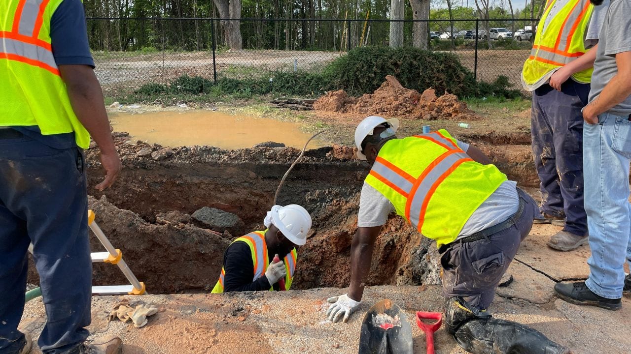
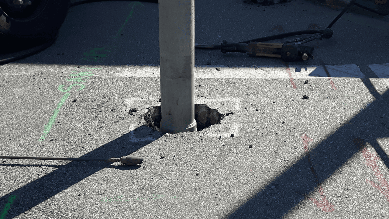
Excavation decisions often proceed with incomplete subsurface information that leaves critical questions unanswered. Surface marks, utility maps, and existing records may identify possible utility paths, but they frequently fail to provide the certainty required for safe mechanical digging. Vacuum excavation services close that gap by exposing buried lines physically, so crews work from confirmed depth …
Continue reading “Signs Your Project Needs Vacuum Excavation Services”
Read More
Why Cheap Excavation Services Can Increase Project Risk
A low excavation price appears efficient when project budgets are tight. Cheap excavation services can look identical to full-scope work on a one-page bid, because the exclusions sit in the line items nobody wrote down. The real cost depends on which risk controls the contractor actually includes. Below, you’ll find how under-scoped excavation increases construction …
Continue reading “Why Cheap Excavation Services Can Increase Project Risk”
Read More
What Affects Hydro Excavation Pricing?
Hydro excavation pricing varies because each project involves different utility congestion, soil density, site access, excavation depth, equipment requirements, and disposal constraints. Providers price total risk and scope, not just the time a crew spends digging. Two jobs with the same hole count can carry very different quotes once soil, traffic control, and slurry hauling …
Continue reading “What Affects Hydro Excavation Pricing?”
Read More
Utility Daylighting Services for Data Centers and Tech Facilities
Utility daylighting gives data centers and tech facilities a reliable way to confirm what sits beneath the surface before excavation begins. These sites rely on buried power, fiber, cooling, water, fire protection, and site utilities that cannot be treated like ordinary subsurface conditions, and excavation for telecom and data infrastructure can disrupt operations if a …
Continue reading “Utility Daylighting Services for Data Centers and Tech Facilities”
Read More
Non-Destructive Digging for Solar and Renewable Energy Projects
Solar and renewable energy construction involves trenching for collection lines, installing foundations and equipment pads, building access roads, and connecting to existing electrical infrastructure. Every one of those activities intersects with buried utilities. Non-destructive digging methods, including vacuum excavation, private utility locating, ground-penetrating radar, and utility potholing, give project teams physical confirmation of subsurface conditions …
Continue reading “Non-Destructive Digging for Solar and Renewable Energy Projects”
Read More
Vacuum Excavation for Telecommunications Infrastructure
Telecommunications infrastructure projects run through congested underground corridors where fiber-optic cables, copper telephone lines, electrical service, water mains, and legacy utilities overlap. Fiber cuts disrupt service for businesses, emergency responders, and residents. Visual confirmation before trenching or boring protects that infrastructure and keeps broadband expansion and network construction on schedule. Vacuum excavation exposes buried utilities …
Continue reading “Vacuum Excavation for Telecommunications Infrastructure”
Read More