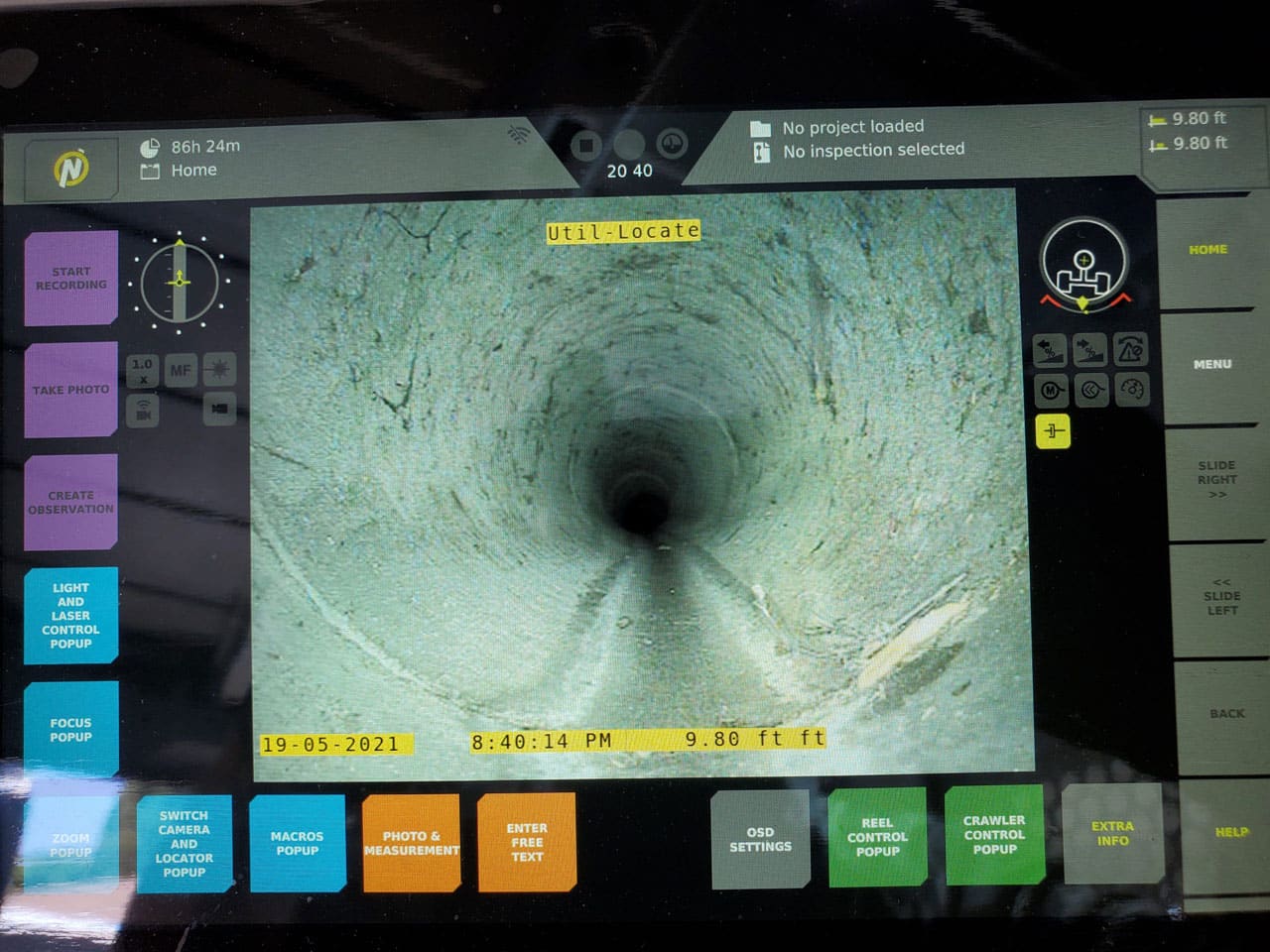
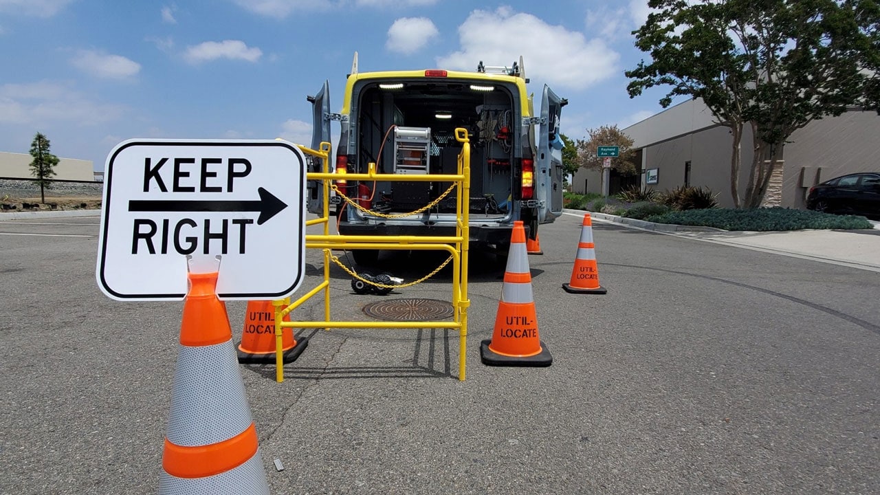
What is the Best Method for Pipe Location?
Doing any type of digging in your yard without knowing the location of utility lines will increase your risk of damage. This can result in flooding your yard or even your entire home, which can be extremely costly to fix. Therefore, hiring a utility locating service can ensure the safety of everyone and your property. …
Continue reading “What is the Best Method for Pipe Location?”
Read More
4 Benefits of a Private Utility Locator
Property owners must follow their state’s regulations when it comes to maintaining underground utility lines. To prevent interference with those belonging to others, they may require the aid of private utility locating services. Mapping technology and the expertise of skilled technicians can be utilized to achieve this. This method helps developers and owners easily manage …
Continue reading “4 Benefits of a Private Utility Locator”
Read More
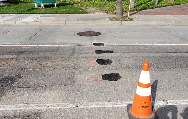
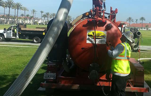
Why Potholing is Highly Recommended for Construction Projects
Construction contractors can use potholing to safely control potential problems while searching for underground utility main lines, such as for natural gas or cable television, without causing a severe inconvenience in the local area. The loose soil from the test hole can be quickly and easily removed with vacuum excavation to then provide an open …
Continue reading “Why Potholing is Highly Recommended for Construction Projects”
Read More
Why Utility Potholing Is Essential for A Successful Construction Project
It’s long been said that if humans could see all that is under the ocean, they’d never leave the shore. The same is true of nearly any developed property, whether you are starting a new structure, repairing a building or adding to an existing site. You’re going to want to look into a process called …
Continue reading “Why Utility Potholing Is Essential for A Successful Construction Project”
Read More
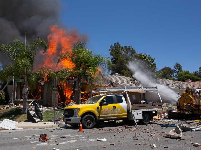
How the Murrieta Explosion Could Have Been Avoided
Southern California was recently devastated when a ruptured gas line led to an explosion. The explosion killed a Southern California Gas Company worker, and fifteen people were injured. The reason behind the Murietta explosion was a contractor who was working without having the area inspected first. The contractor not only caused irreversible damage but …
Continue reading “How the Murrieta Explosion Could Have Been Avoided”
Read More
3 Best Underground Utility Locating Systems
The job of utility locating service involves the use of a wide range of equipment. Depending on the type of work being done and the utility type being sought, locators choose the appropriate locating tool. Methods that locate utilities accurately ensure that excavation crews and communities are safe from injury due to striking utility lines. …
Continue reading “3 Best Underground Utility Locating Systems”
Read More
