How Accurate Location of Underground Power Lines Improves Project Efficiency
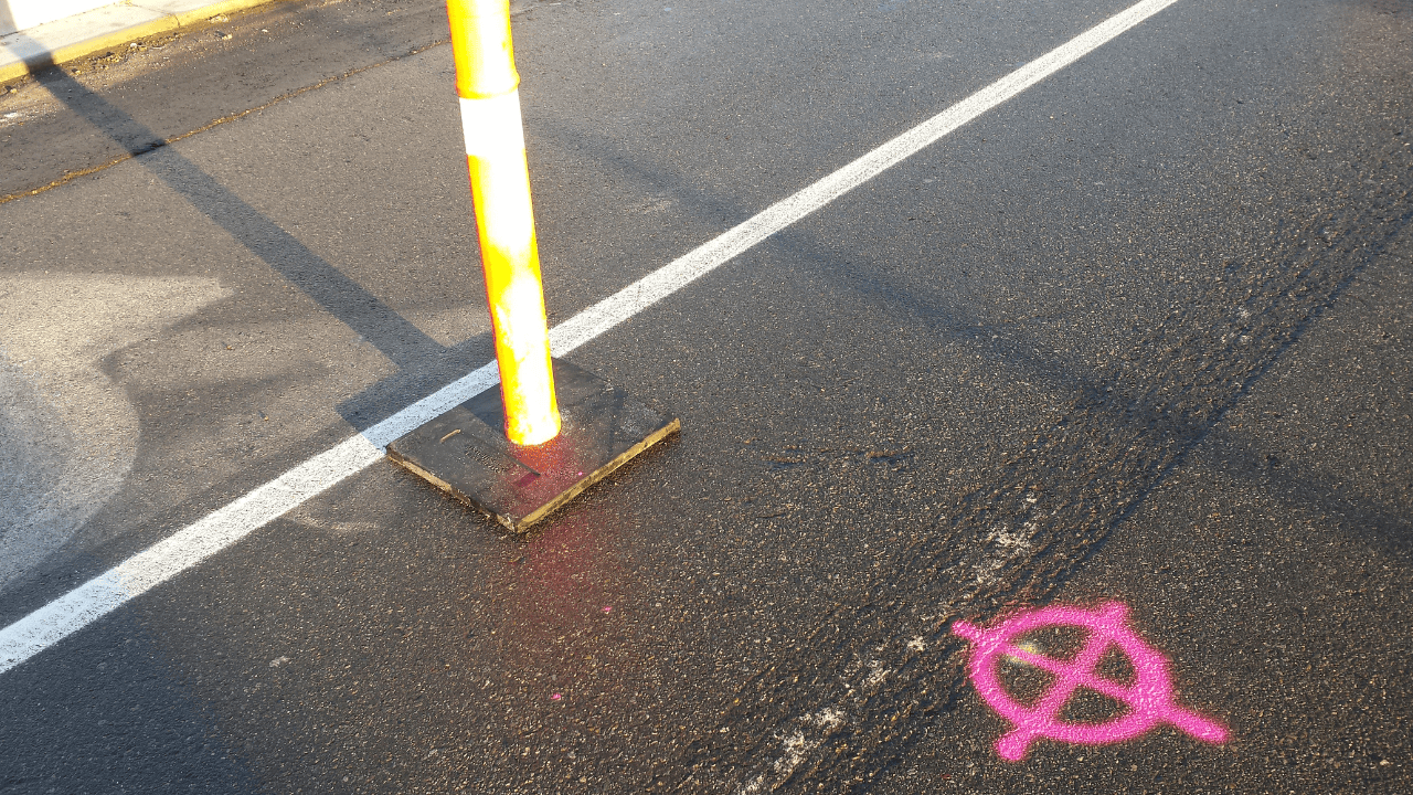
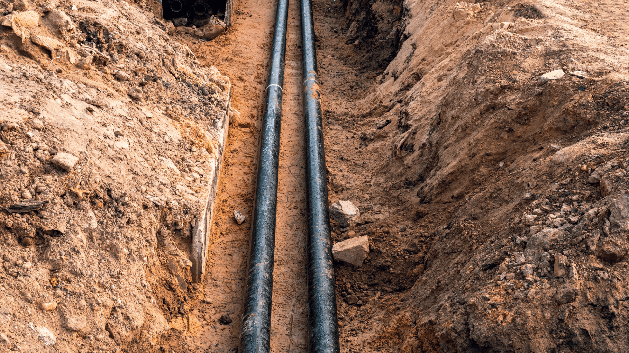
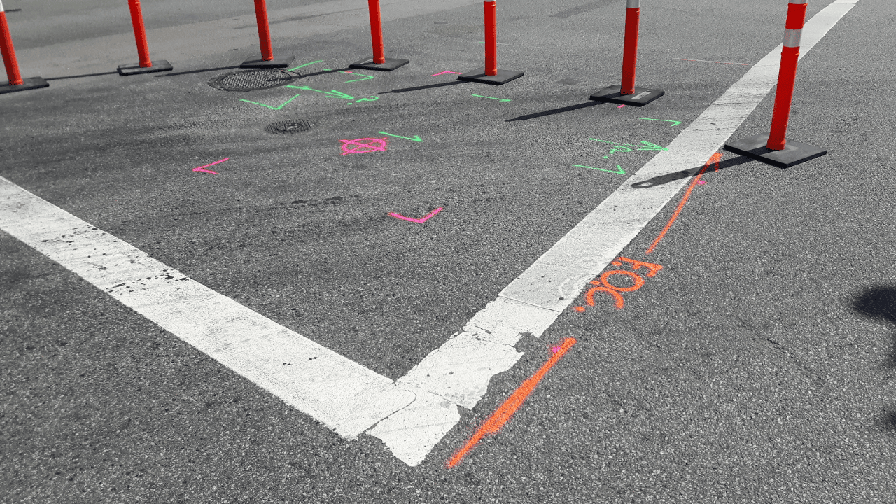
Accurately locating underground power lines is crucial for maximizing project efficiency. Precise mapping reduces the risk of accidental damage, preventing costly delays and repairs. It streamlines planning and excavation processes, ensuring that crews can work safely and effectively. By identifying the exact locations of utilities, teams can optimize resource allocation and avoid unnecessary digging.
Read More
Common Mistakes to Avoid When Locating Underground Power Lines
Locating underground power lines requires precision and expertise to prevent costly and dangerous errors. Common mistakes include failing to call for utility markings before digging, relying solely on outdated maps, and neglecting to use advanced tools like ground-penetrating radar. Follow proper procedures and work with trained professionals to ensure safety and accuracy during excavation projects.
Read More
The Role of Vacuum Excavation in Locating Underground Power Lines
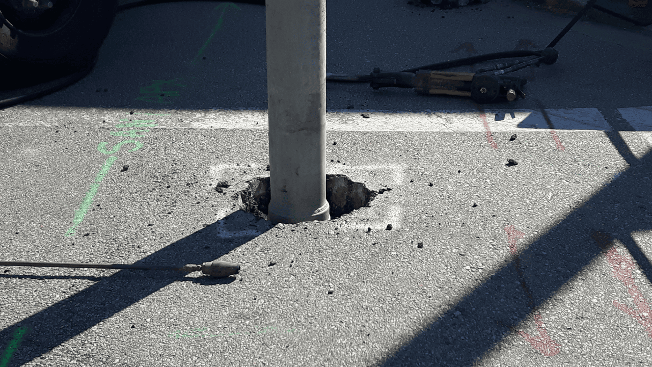
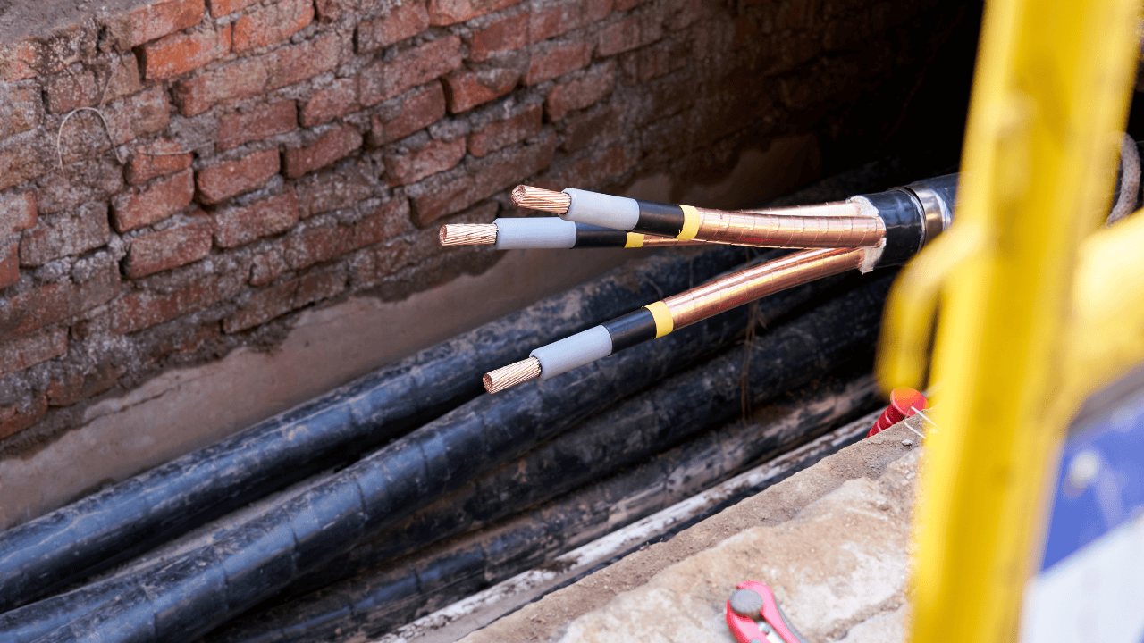
Vacuum excavation is a safe and efficient method for locating underground power lines without causing damage. This non-destructive technique uses air or water pressure to loosen soil, which is then removed with a vacuum. It minimizes the risk of striking power lines compared to traditional digging methods, ensuring precision and safety.
Read More
Challenges of Locating Underground Power Lines in Dense Urban Areas
Locating underground power lines in dense urban areas presents unique challenges due to complex utility networks and limited access. Overlapping cables, outdated maps, and interference from surrounding infrastructure make pinpointing lines difficult. Heavy pedestrian and vehicle traffic can restrict the use of equipment and extend project timelines. To navigate these challenges efficiently and safely, advanced technologies and experienced professionals are essential.
Read More
The Technology Behind Locating Underground Power Lines
Locating underground power lines requires precise technology to ensure accuracy and safety. Ground Penetrating Radar (GPR), Electromagnetic induction (EMI), Advanced GPS technology and utility mapping software are some of the significant advancements in utility locating services. These modern tools help prevent accidental strikes, reduces project delays, and promotes safer, more efficient infrastructure projects.
Read More
How Utility Locating Services Prevent Damage to Underground Power Lines
Utility locating services play a crucial role in preventing accidental damage to underground power lines during construction and excavation projects in California. By identifying and marking underground utilities, utility locating services help protect both workers and infrastructure, ensuring that projects proceed smoothly and safely without disrupting critical power systems.
Read More
