Methods for Underground Conduit Locating Services in California
Underground conduit locating services in California rely on advanced methods to accurately detect and map buried utilities without invasive digging. Ground-penetrating radar (GPR), electromagnetic detection and vacuum excavation are some proven methods. These non-invasive methods help construction teams avoid costly damage, comply with California’s strict safety standards, and ensure efficient planning for projects involving buried utilities.
Read More
Best Ways to Locate Underground Cable and Map It Out
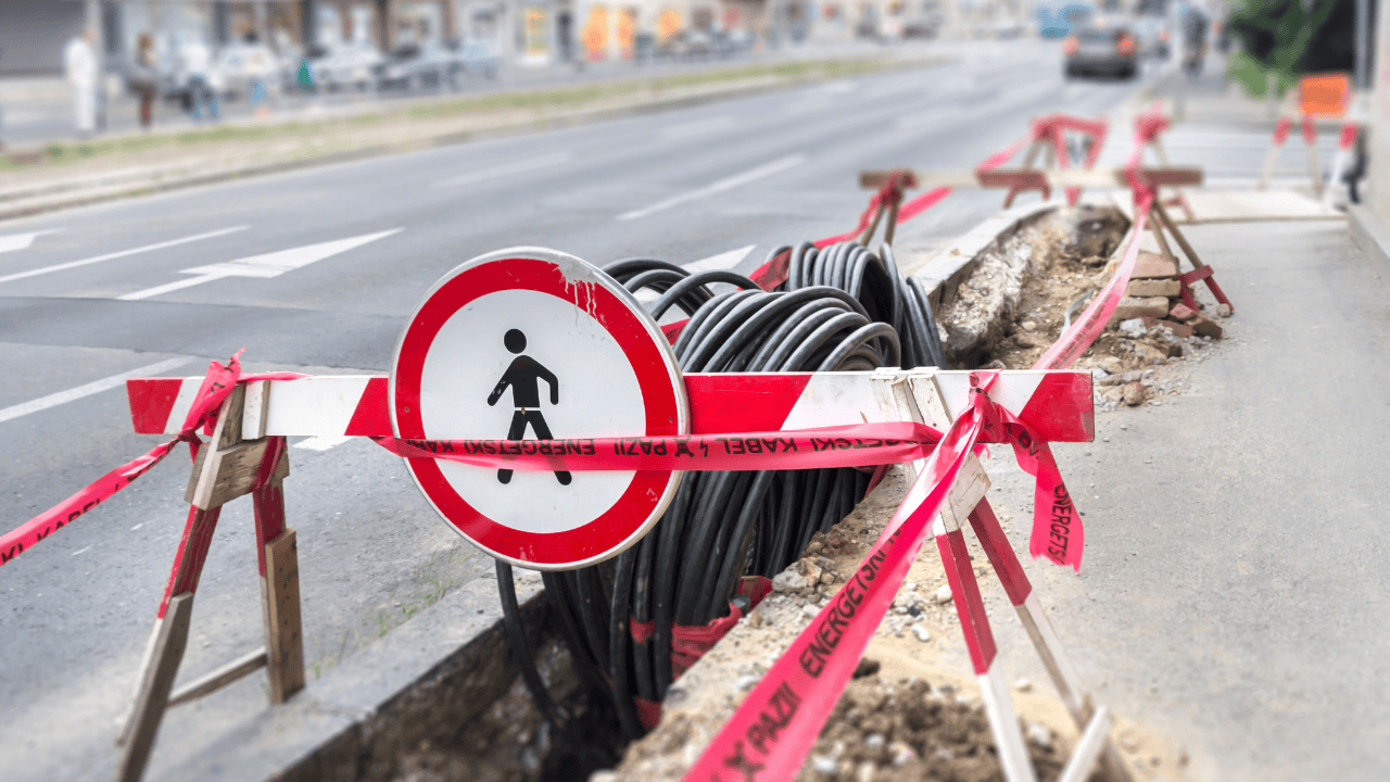
Locating and mapping underground cables requires precision to avoid disruptions and ensure safety during construction or excavation. Ground-penetrating radar (GPR) is an effective method for identifying both metallic and non-metallic cables while electromagnetic locating is highly accurate for metal cables, working by detecting their electromagnetic signals. These advanced, non-invasive methods provide a reliable and efficient approach to safely locate and map underground cables.
Read More
Vacuum Excavation: Specific Applications and Advantages
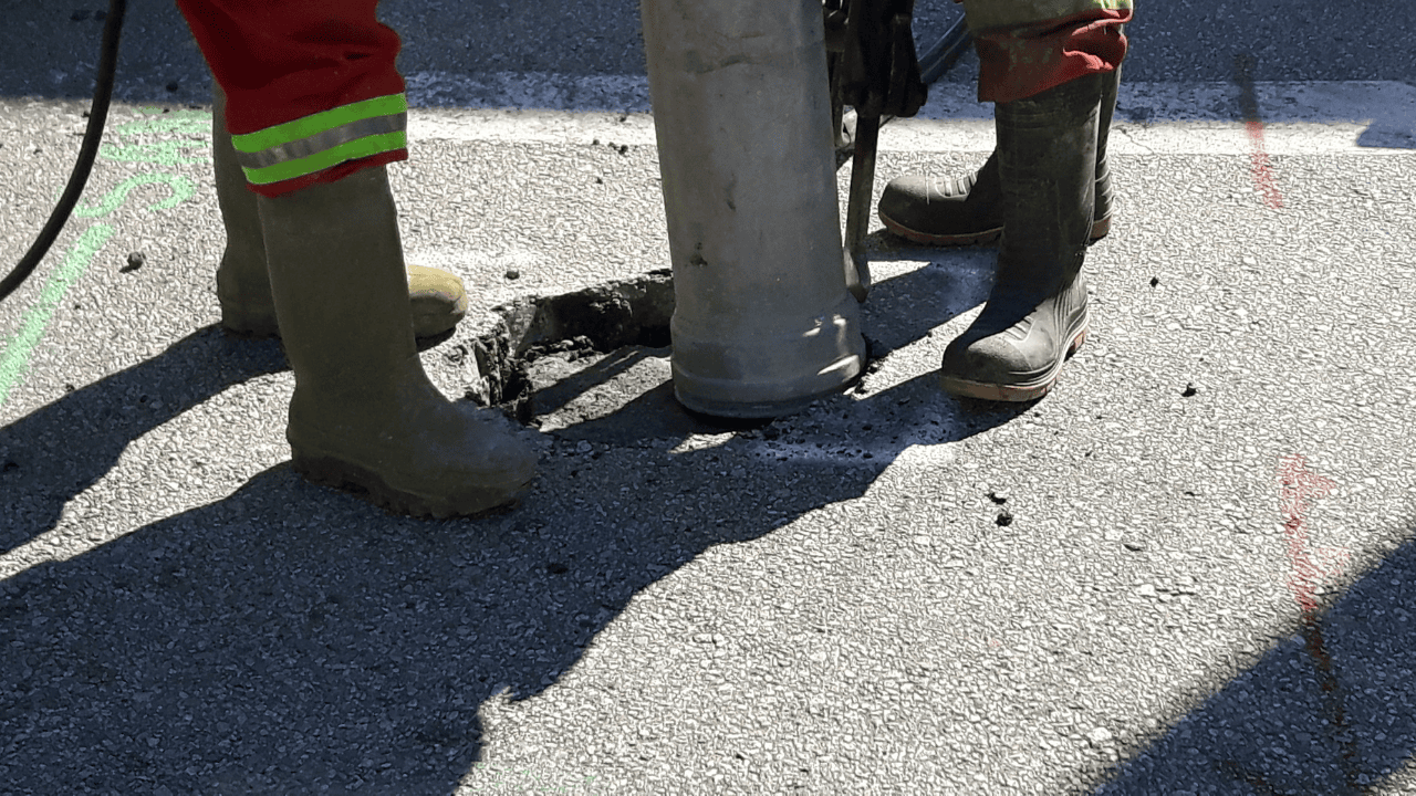
Vacuum excavation is a game changer in underground utility locating services to ensure project safety and efficiency. Learn the benefits and specific applications of vacuum excavation and why it is the top choice for potholing utilities in California.
Read More
Which Sectors Benefit From Vacuum Excavation?
Vacuum excavation is a versatile method used across various sectors for safe and efficient digging. The construction industry benefits from its ability to expose underground utilities without damaging them, making it ideal for utility mapping and maintenance. In the energy sector, it helps with precise pipeline installation and repairs. Municipalities and public works use vacuum excavation for road repairs, drainage projects, and potholing. Additionally, environmental sectors rely on it for soil sampling and environmental remediation without disrupting sensitive areas.
Read More
How Vacuum Excavation Minimizes Traffic Disruption During Roadworks
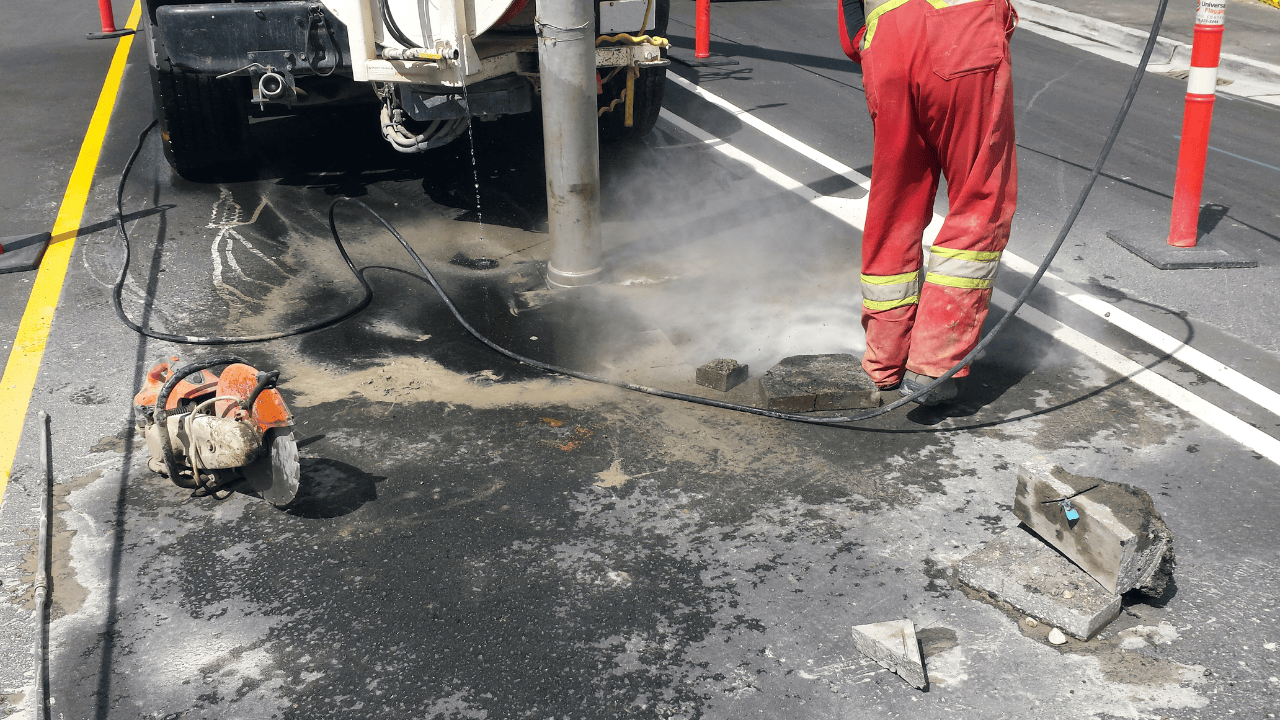
Vacuum excavation has revolutionized roadworks. It makes road construction easier to finish projects without causing big traffic delays. Discover how this technique works and why it’s a game changer for roadworks and utility maintenance.
Read More
Environmental and Safety Benefits of Vacuum Excavation in Urban Construction
Vacuum excavation is an effective and safe method of exposing underground utilities and infrastructures without the risk of damaging them. It removes soil without harming the delicate topsoil, allowing you to protect significant wildlife and vegetation. Learn more about the advantages of vacuum excavation in urban construction and engineering.
Read More
