Navigate potholing challenges effortlessly. Explore solutions to unexpected obstacles, ensuring smooth progress in locating underground utilities. Trust us for expert insights and reliable services, call our team today!
Underground utility potholing is a critical step in construction and excavation projects. It involves the careful removal of soil to expose utilities without causing damage. While potholing is a proven method, it comes with its set of challenges.
Understanding these challenges and implementing effective solutions is crucial for successful and safe excavation.
What You Need to Know About Utility Potholing
Understand Potholing Basics
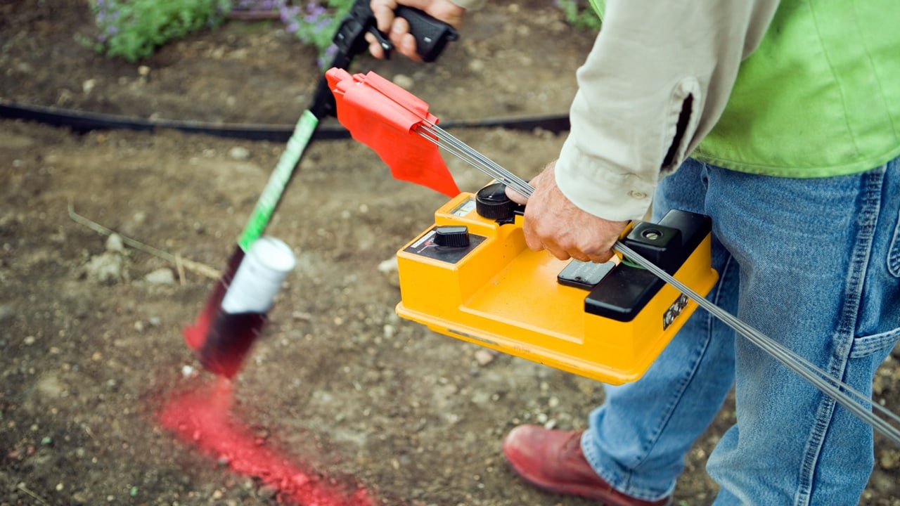
Potholing is a non-destructive excavation method used to identify the location and depth of underground utilities. This process is essential to prevent accidental damage during construction projects.
Common Challenges in Utility Potholing
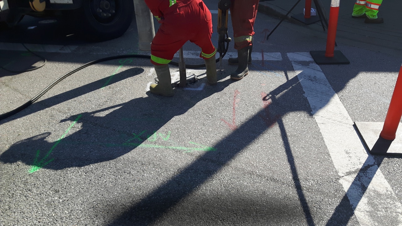
- Soil Conditions – One of the primary challenges in potholing utilities is dealing with varying soil conditions. Different soil types, such as clay, sand, or rocky terrain, require specific excavation techniques.
- High-Pressure Water Risks – Hydro excavation, which uses high-pressure water to break up the soil, can pose risks, especially near sensitive utilities or fragile cables.
- Steep Slopes – Excavating in areas with steep slopes adds complexity and increases the risk of soil collapse.
- Cave Environments – In some cases, utilities may be located in underground caves, requiring specialized approaches for safe potholing.
Solutions to Overcome Challenges
- Risk Management Plan – Developing a comprehensive risk management plan is essential. It should include a thorough analysis of soil conditions, potential water risks, and strategies for working on slopes.
- Safety Protocols – Implementing strict safety protocols, including the use of proper equipment and personal protective gear, helps mitigate risks associated with high-pressure water and cave environments.
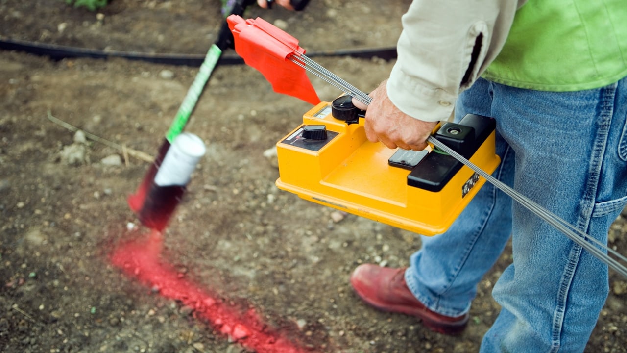
- Depth Estimation Techniques – Accurate depth estimation is crucial. Using advanced technologies, such as ground-penetrating radar (GPR), can enhance the precision of potholing in different soil conditions.
Importance of Hiring a Reliable Utility Potholing Service
Expertise in Diverse Environments
A reliable utility potholing service brings expertise in dealing with diverse environments. Whether it’s rocky terrain, high-pressure water challenges, or complex cave structures, professionals are equipped to handle the unexpected.
Advanced Technology Integration
Professional potholing services leverage cutting-edge technologies, ensuring accurate and efficient excavation. This includes the use of GPR, vacuum excavation, and other tools that enhance precision and safety.
Compliance with Safety Regulations
Safety is paramount in potholing. Hiring professionals ensures adherence to safety regulations and standards, reducing the risk of accidents and ensuring the well-being of on-site workers.
Efficiency in Project Execution
Professional potholing services enhance the efficiency of construction projects. By mitigating challenges and delivering precise utility locations, they contribute to the overall success and timely completion of the project.
Mitigate Challenges through Advanced Techniques
- Depth Estimation Errors – One common challenge in potholing is accurately estimating the depth of utilities. Depth estimation errors can lead to issues during excavation. To address this, professionals use advanced technologies like GPR to provide real-time and precise depth information.
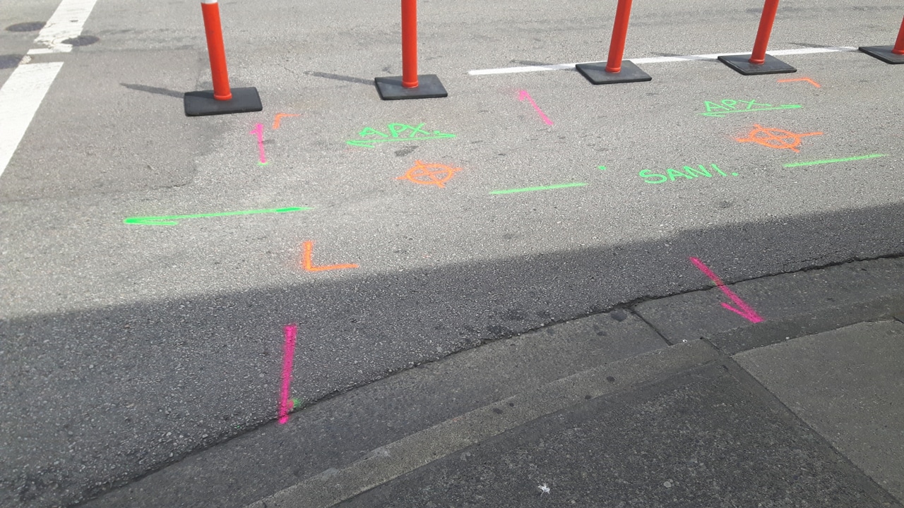
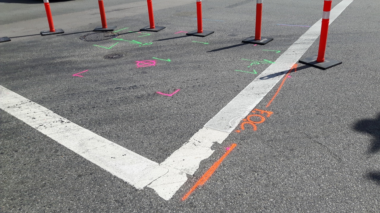
- Cross-Utility Interference – In scenarios where multiple utilities run in close proximity, there’s a risk of cross-utility interference. Proper training and advanced equipment help mitigate this challenge, ensuring the focused excavation of the intended utility.
- Incomplete or Outdated Records – Often, incomplete or outdated records pose challenges. Professionals rely on a combination of historical data, utility maps, and cutting-edge tools to fill in the gaps and ensure a comprehensive understanding of the underground infrastructure.
Training and Certification for Safe Potholing
Importance of Proper Training
In addressing challenges associated with potholing, the significance of trained personnel cannot be overstated. Proper training ensures that individuals understand the complexities involved, from dealing with soil variations to utilizing high-pressure water safely.
Certification Standards
Certification programs set by industry standards and organizations provide a benchmark for the skills and knowledge required for effective potholing. Certified personnel are more equipped to handle challenges and ensure precise utility exposure.
Overcome Depth Variations in Shallow Depths
- Risk of Damage in Shallow Depths – While potholing is often associated with deeper excavations, challenges also arise when dealing with shallow depths. The risk of damage to utilities increases in these scenarios.
- Proper Safety Protocols – Implementing proper safety protocols becomes crucial in shallow-depth potholing. This includes using less intrusive excavation methods and maintaining a heightened awareness of the proximity of utilities to the surface.
Navigate Electrical Cables in Potholing
Uncovering electrical cables during potholing presents a unique challenge due to the sensitivity and potential hazards associated with live wires. Special precautions are necessary to avoid accidental contact with energized cables.
Potholing professionals employ electromagnetic locating techniques and work closely with utility companies to identify and manage the risks associated with electrical cables.
Deal with Steep Slopes
In terrain with steep slopes, potholing becomes more intricate. The risk of soil erosion and cave-ins is heightened, demanding careful planning and execution.
Potholing teams may utilize additional support structures and implement soil stabilization measures to ensure the safety of the excavation process.
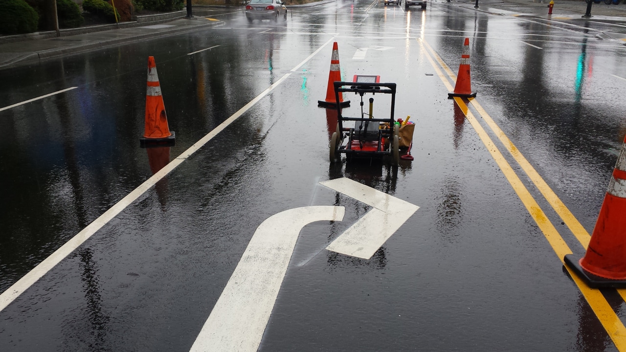
Hydro Excavation in Confined Spaces
Hydro excavation, involving high-pressure water, can be challenging in confined spaces. The containment of water runoff and managing the equipment in tight quarters require specialized skills.
Potholing professionals adapt their equipment and procedures to effectively carry out hydro excavation in confined environments, minimizing risks and maximizing efficiency.
The Role of Technology in Overcoming Potholing Challenges
In addressing the challenges of utility potholing, technology emerges as a key ally. Ground-penetrating radar (GPR) provides detailed subsurface imaging, helping professionals visualize the location of utilities, soil conditions, and potential obstacles.
This technology aids in accurate planning and execution, reducing uncertainties and enhancing safety.
Continuous Training and Certification
To tackle the evolving challenges of utility potholing, professionals undergo continuous training and certification. Staying updated on the latest technologies, safety protocols, and industry best practices ensures that potholing services are well-equipped to handle diverse challenges in different environments.
Unearth Potholing Utilities Safely with Util-Locate!
Navigate the complexities of potholing in construction seamlessly with Util-Locate. Our seasoned professionals, armed with cutting-edge technology, tackle steep slopes, confined spaces, and more.
We prioritize safety and efficiency, ensuring precise excavation while mitigating risks. Trust Util-Locate for a reliable partner in overcoming potholing obstacles. Contact us today at 866-638-1075 for unparalleled expertise in utility exposure.