Key Takeaways
- Understanding soil conditions is crucial, as factors like density and moisture can significantly affect the accuracy of utility locating.
- Relying on outdated utility maps can lead to costly delays and safety hazards; regular updates and digital mapping are essential for accurate data.
- Utilizing advanced tools like ground-penetrating radar (GPR) and electromagnetic equipment enhances the detection of conduits in complex soil environments.
- Combining multiple locating methods in urban areas with overlapping utilities improves precision and minimizes the risk of damaging critical infrastructure.
- Effective communication and teamwork among construction crews can mitigate risks associated with overlapping utility lines, ensuring smooth project execution.
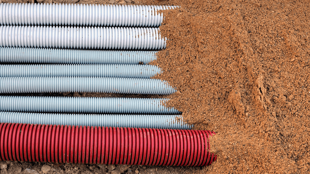
Every excavation project, big or small, depends on understanding what lies hidden underground. Construction teams risk damaging essential conduits without underground utility locating, causing delays, and even sparking safety hazards.
Locating underground conduits can be challenging due to variable soil conditions, outdated utility maps, and other obstacles. Fortunately, with the right utility locating techniques and tools, these hurdles can be effectively navigated, ensuring safety and efficiency.
The Common Challenges to Underground Utility Locating
Soil conditions and outdated utility maps are common challenges in utility conduit locating. Soil composition can distort readings, complicating the job for any underground utility locator.
Dense or rocky soil, for instance, may interfere with the efficiency of ground-penetrating radar (GPR), making accurate detection difficult. Outdated or inaccurate maps present another challenge, as they can misrepresent the precise location of utility conduits or omit recent installations altogether.
Investing in state-of-the-art technology and ongoing training for teams is increasingly necessary to manage these challenges effectively. Advances in underground location technology not only ensure greater accuracy but also speed up project timelines, saving valuable resources.
Moreover, real-time data and GIS integration enable teams to adapt swiftly to changing project requirements, ensuring they are equipped to locate utilities with minimal disruption to construction schedules. These measures are vital in managing modern excavation projects and avoiding costly setbacks.
Solution
Advanced utility locating services, equipped with ground-penetrating radar (GPR) and electromagnetic tools, provide improved accuracy. These tools adapt to various soil conditions, providing reliable data even when maps fall short.
Working with an experienced electrical line locating team can also reduce the margin of error caused by outdated data, streamlining the conduit locating process. Teams can even implement regular updates to their maps, integrating GIS data that reflects the latest installations.
Navigating Complex Soil Conditions with Innovative Technology
Soil types vary significantly across regions, and each type presents unique challenges. Sandy soils may allow easy movement for locating devices, but clay-heavy or waterlogged soil can distort readings, complicating the detection of conduits. For a power line locating team, such soil conditions could impede the clear identification of buried electrical conduits, posing a risk to workers and the project itself.
Compounding these issues, variations in moisture levels can change how signals travel through the ground. For example, during heavy rain, saturated soil can cause radar signals to scatter, leading to inaccurate readings and potential mislocating of utilities.
Solution
Ground-penetrating radar (GPR) is a powerful tool for detecting conduits in complex soil conditions. By adjusting GPR’s frequency and sensitivity, utility-locating professionals can overcome interference from challenging soil compositions. For instance, higher-frequency GPR systems may provide better resolution in dry, sandy soils, while lower frequencies penetrate deeper in denser materials.
Additionally, electromagnetic tools assist in identifying non-metallic pipes in various soil types, improving overall accuracy and safety. These combined technologies offer versatility and precision, allowing teams to adapt to different project environments.
Addressing Issues with Outdated or Inaccurate Utility Maps
When working with outdated maps, construction teams might miss essential details about utility conduits. Missing or incorrect data regarding power line locating points can result in costly delays and safety concerns. For teams without reliable data, excavation projects become time-consuming and may even require manual, on-site adjustments.
Consider a scenario where a contractor relies on old maps that fail to show recent utility installations. This reliance can lead to unexpected encounters with utilities that are not documented, resulting in service interruptions and project delays.
Solution
Using updated, digital maps and GIS data integration can enhance accuracy and minimize guesswork. Many utility conduit locating services now rely on digital mapping systems that offer real-time updates and detailed visuals.
These systems can reduce the dependency on outdated maps and improve project timelines. Integrating 3D mapping technologies can also provide a more comprehensive view of underground utilities, allowing teams to visualize spatial relationships between different conduits.
Regular training for field teams on the latest technologies can further enhance their ability to interpret and utilize digital maps effectively. This proactive approach helps ensure that teams are equipped to handle new developments in underground utility locating.
Ensuring Precision in High-Activity Areas
In urban environments or construction-heavy zones, conduits often overlap, making the work of locating underground conduits especially challenging. Such environments require additional precision to avoid disruptions and ensure the successful identification of critical utility lines.
Competing interests and space constraints can make it difficult to use standard locating methods in busy urban settings. For example, construction crews working on a major roadway may face difficulties due to existing utility lines running closely together, creating a complex web that must be carefully navigated.
Solution
Combining GPR with electromagnetic tools helps underground utility locators achieve the accuracy needed in high-activity zones. When using multiple detection methods, teams can cross-verify data, reducing the risk of errors. This approach is especially useful when projects require working near sensitive infrastructure.
Additionally, implementing strict communication protocols among teams can help mitigate risks associated with overlapping utilities. Sharing findings in real-time allows for quicker decision-making and ensures that all teams are aware of the current utility locations.
Strengthen Your Next Project with Advanced Utility Locating Solutions
Investing in professional utility locating services can dramatically improve project safety and efficiency. From tackling challenging soil conditions to leveraging digital maps, advanced locating tools empower teams to manage every aspect of utility conduit locating effectively.
Ready to elevate your next project with precision and expertise? Consider partnering with Util-Locate, where we utilize cutting-edge technology and proactive strategies.
This collaboration will not only streamline your workflow but also enhance safety, ensuring a successful outcome for your excavation projects. Contact us today to learn more about how we can support your utility locating needs and provide peace of mind for your next construction endeavor.