Key Takeaways
- Advanced utility mapping provides precise detection of underground utilities using cutting-edge technologies.
- Real-time 3D visualization enhances safety and prevents accidental damage during excavation.
- Comprehensive 3D models enable efficient project planning and minimize risks.
- GPR and GIS technologies are essential for creating accurate maps of underground infrastructure.
- Utility companies, service providers, and city planners benefit from detailed and reliable underground utility mapping.
Advanced utility mapping with real-time 3D visualization offers unparalleled precision and safety in identifying underground utilities. By utilizing cutting-edge technologies, including ground penetrating radar and Geographic Information Systems (GIS), this method ensures accurate detection and mapping of underground assets, preventing accidental damage and enhancing the efficiency of construction projects.
Let’s explore how this innovative approach transforms utility mapping and utility locating services and contributes to safer and more efficient construction projects.
Accurate Detection and Mapping
Advanced utility mapping with real-time 3D visualization provides significant benefits for utility companies, city planners, and construction service providers. This technology offers a comprehensive view of the underground environment, helping to locate water pipes, electrical cables, and other critical infrastructure with remarkable accuracy.
Precision with Cutting-Edge Technologies
Advanced utility mapping employs ground penetrating radar (GPR) and Geographic Information Systems (GIS) to detect and visualize underground utility assets. GPR sends energy waves into the ground, which reflect off different materials such as pipes and cables. These reflections are captured and processed to create detailed 3D images of the underground infrastructure.
Comprehensive 3D Models
The use of real-time 3D visualization enables the creation of 3D models of subsurface utilities. These models provide an accurate and detailed representation of the underground environment, showing the exact location and orientation of utility lines. This information is crucial for avoiding utility strikes during excavation and ensuring that construction projects proceed without delays.
Handling Curved Utilities
One of the challenges in utility mapping is accurately detecting curved utilities such as bent pipes or cables. Advanced 3D visualization technology can capture the precise shape and path of these utilities, ensuring a comprehensive understanding of the underground utility infrastructure.
Enhancing Safety and Efficiency
Precise utility mapping significantly lowers the risk of striking underground utilities, enhancing worker and public safety.
Preventing Accidental Damage
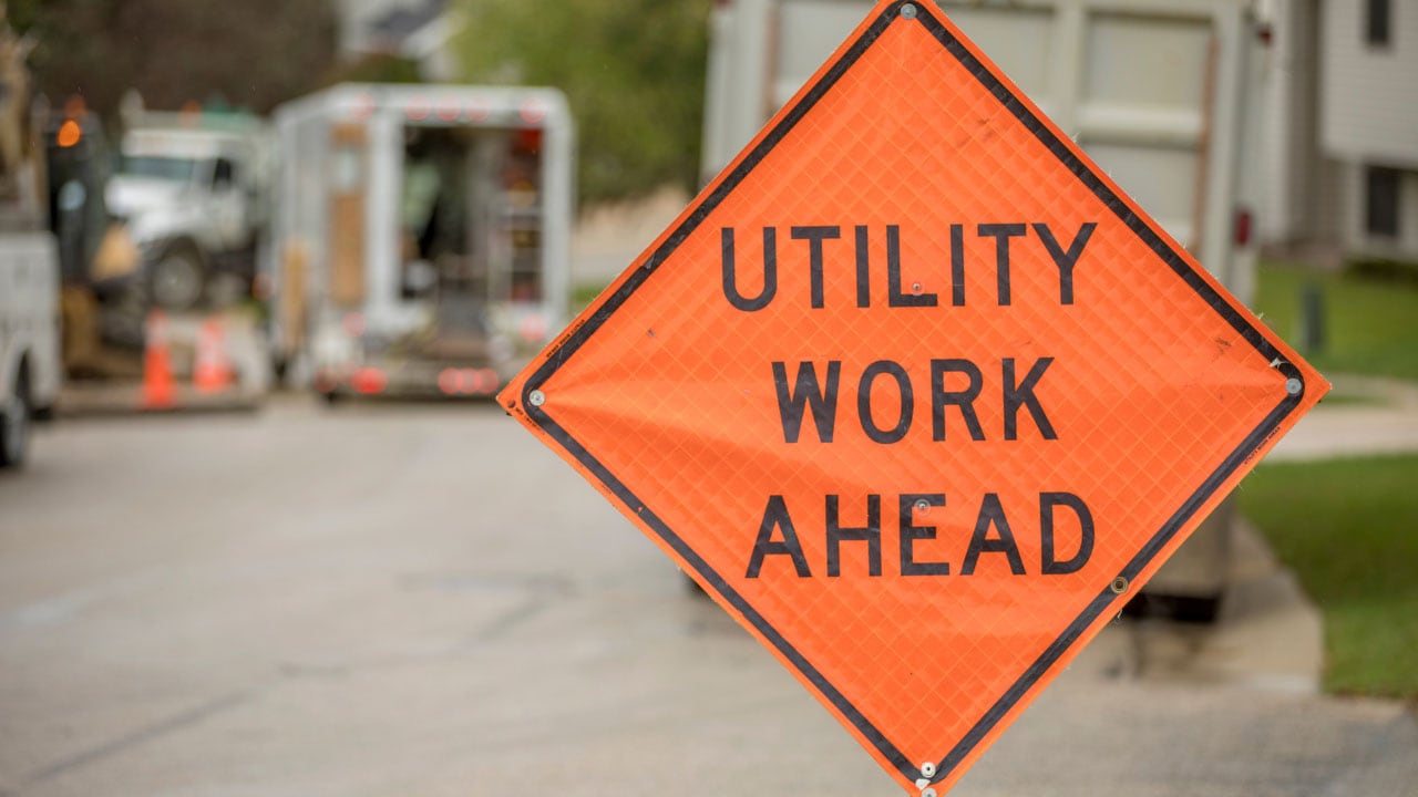
Accidental damage to underground utilities during construction can lead to severe consequences, including service disruptions, financial losses, and safety hazards. By providing an accurate location of underground utility assets, advanced utility mapping helps prevent these incidents, ensuring a safer work environment and reducing project costs.
Efficient Project Planning
With detailed information on underground utilities, city planners and construction service providers can plan projects more efficiently. Knowing the exact locations of underground assets allows for better coordination and reduces the risk of unexpected delays, helping projects stay on schedule and within budget.
Minimizing Excavation Risks
The ability to visualize underground infrastructure in real time minimizes the risks associated with excavation. Workers can dig with confidence, knowing the precise location of utility lines, water pipes, and electrical cables, thereby avoiding potential hazards and ensuring a smoother construction process.
3 Advanced Technologies in Utility Mapping
- Ground Penetrating Radar: GPR is a key component of advanced utility mapping. It provides high-resolution images of the underground environment by sending energy waves into the ground and measuring their reflections. This technology is essential for detecting a wide range of underground utilities, from metal pipes to non-metallic conduits.
- Geographic Information Systems: GIS technology enhances the accuracy and usability of utility maps. By integrating data from GPR and other sources, GIS creates detailed and interactive maps that can be easily accessed and analyzed. This integration allows for more effective management of underground utility infrastructure and supports informed decision-making.
- Real-Time Data Visualization: Real-time 3D visualization provides immediate feedback on the location and condition of underground utilities. This capability is crucial for on-site decision-making and allows for quick adjustments to project plans if unexpected underground assets are detected.
Benefits of Comprehensive Utility Mapping for Various Stakeholders
By leveraging advanced utility mapping with real-time 3D visualization, stakeholders can achieve greater precision, safety, and efficiency in their projects. This innovative approach ensures that all parties have access to accurate and comprehensive information about underground utilities, leading to better decision-making and successful project outcomes.
- Utility Companies: Advanced utility mapping helps utility companies maintain accurate records of their underground infrastructure. This information is vital for routine maintenance, emergency repairs, and future expansion projects.
- Service Providers: Construction and excavation service providers benefit from the enhanced safety and efficiency offered by advanced utility mapping. By knowing the accurate location of underground utility assets, they can avoid costly damages and ensure that projects are completed on time.
- City Planners: For city planners, advanced utility mapping provides a comprehensive understanding of the underground environment. This knowledge is essential for urban development projects, infrastructure upgrades, and planning new construction.
Frequently Asked Questions
1. What is advanced utility mapping, and how does it work?
Advanced utility mapping involves the use of cutting-edge technologies like ground penetrating radar (GPR) and Geographic Information Systems (GIS) to create detailed and accurate maps of underground utilities.
2. What types of underground utilities can be detected with advanced utility mapping?
Advanced utility mapping can detect a wide range of underground utilities, including water pipes, electrical cables, gas lines, sewer pipes, and telecommunications conduits.
3. How does advanced utility mapping enhance safety on construction sites?
By providing an accurate location of underground utility lines, advanced utility mapping helps prevent accidental damage during excavation. This minimizes the risk of service disruptions.
4. What are the benefits of using real-time 3D visualization in utility mapping?
Real-time 3D visualization offers immediate feedback on the location and condition of underground utilities, allowing for on-site decision-making and quick adjustments to project plans. This technology enables the creation of comprehensive 3D models of subsurface utilities.
5. Who can benefit from advanced utility mapping services?
Utility companies, city planners, construction service providers, and excavation professionals can all benefit from advanced utility mapping services. This technology helps utility companies maintain accurate records of their underground infrastructure.
Streamline Your Project With Expert Utility Locating Services Today!
Experience the benefits of advanced utility mapping with Util-Locate’s utility locating services in California. Our expert team uses the latest cutting-edge technologies to provide precise and reliable underground utility mapping. Ensure your construction projects are safe, efficient, and on schedule. Book a consultation now and let us help you locate underground utilities with unparalleled accuracy.