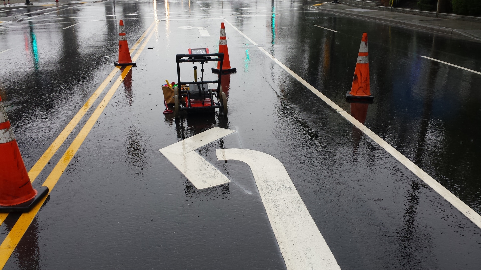
Ground penetrating radar (GPR) is a non-invasive geophysical method used to investigate subsurface materials and structures without damaging the site. It uses high-frequency electromagnetic waves to produce images of the subsurface, which can be used to locate and map buried objects and materials.
This technology has numerous applications, including utility detection, environmental studies, geology, and archaeology.
GPR works by emitting an electromagnetic pulse into the ground using a transmitter antenna. This pulse is then reflected back to the surface by subsurface objects and recorded by a receiver antenna.
By analyzing the characteristics of the reflected wave, GPR can provide information about the depth, size, and shape of subsurface features.
GPR is a powerful tool that can penetrate a variety of materials, including soil, rock, concrete, and ice. It is non-destructive, fast, and accurate, making it an essential tool for many industries. This article will explore the principles of GPR, how it works, and its many applications. We will also discuss the limitations of GPR and the factors that can affect its performance.
Definition of Ground Penetrating Radar
Ground-penetrating radar is a geophysical method that uses electromagnetic energy to detect and map subsurface features. This technology is commonly used for a variety of applications, including locating buried utilities, identifying geological features, and detecting archaeological artifacts.
It works by sending short pulses of electromagnetic energy into the ground and measuring the time it takes for the energy to reflect back to the surface. By analyzing the reflected signals, GPR can create a detailed image of the subsurface structure.
The Physics Behind GPR: Electromagnetic Energy and Radar Waves
GPR relies on the properties of electromagnetic energy and radar waves to detect subsurface features. Electromagnetic energy is a form of energy that is created when an electric field and a magnetic field interact.
When this energy is sent into the ground, it interacts with subsurface objects that have different electrical properties. The radar waves produced by the interaction of electromagnetic energy and subsurface objects are then reflected back to the surface, where they can be detected and analyzed.
GPR Components: Antennas, Control Unit, and Radar Signal
GPR systems consist of three main components: antennas, a control unit, and a radar signal. Antennas are used to transmit and receive the electromagnetic energy that is sent into the ground.
The control unit is the central component of the system and is responsible for generating and analyzing the radar signal. The radar signal is the electrical signal that is produced by the control unit and sent to the antennas. By analyzing the radar signal, GPR can create a detailed image of the subsurface structure.
How GPR Works: Depth of Penetration and Subsurface Structures
The depth of penetration of GPR waves depends on several factors, including the electrical conductivity of the ground, the frequency of the antennas used, and the dielectric properties of the subsurface structures. The depth of penetration can vary from a few centimeters to several meters, depending on the favorable conditions for the radar signal to travel through the ground.
GPR is capable of detecting a wide range of subsurface structures, including buried utilities, pipes, archaeological artifacts, and geological features. By analyzing the radar data, it is possible to create a detailed image of the subsurface structures, which can be used to identify potential hazards or locate valuable resources.
GPR Data Displays: 2-D and 3-D Views
The data collected by GPR is typically displayed in 2-D or 3-D views, which provide a detailed image of the subsurface structures. In 2-D scans, the data is displayed as a horizontal slice of the ground at a specific depth, while in 3-D displays, the data is presented as a block view of the subsurface structures.
The accuracy of the depth of investigation depends on several factors, including the type of soil, the antenna frequency, and the actual depth of the subsurface structure. 3-D displays can provide more accurate and detailed information about the subsurface structures, allowing for better decision-making and planning in a variety of industries.
These displays are commonly used in construction, geology, archaeology, and environmental studies, providing valuable insights into the subsurface conditions and helping to ensure the safety and efficiency of a project.
Factors Affecting GPR Performance: Conductive Properties and Ground Disturbances
The accuracy and effectiveness of GPR depend on several factors, including the electrical conductivity of the soil or material being scanned and the presence of any ground disturbances.
Conductivity in the ground affects the propagation of radar waves, and therefore the depth of penetration and quality of the signal. High-conductivity materials such as metals, wet soil, and water can absorb electromagnetic energy, leading to signal attenuation and reduced penetration depth.
Ground disturbances such as pipes, cables, or construction activities can also affect the performance of GPR. When the ground surface is not uniform, or when there are subsurface structures with different electromagnetic properties, the radar waves can reflect or refract, causing noise and reducing the accuracy of the results.
To minimize the impact of these factors, GPR operators can perform surveys in favorable conditions, such as dry soil and low-conductivity materials. They can also use specialized antennas and software to filter out noise and enhance the quality of the data.
Choose Util-Locate for Your Ground Penetrating Radar Service Needs
Looking for reliable and accurate ground penetrating radar services? Look no further than Util-Locate! Our team of experienced professionals is equipped with state-of-the-art GPR equipment and is committed to providing you with the best possible results.
Whether you need to locate subsurface utilities or assess the condition of concrete structures, our GPR services can provide the information you need to make informed decisions.
With our proven track record of success and commitment to customer satisfaction, you can trust us to deliver quality ground-penetrating radar services that meet your needs and exceed your expectations. To learn more and to schedule your GPR service, contact us at 888-885-6228 at Util-Locate today!

